Cypress Drones 415-640-4059
Drone Pet Recovery Network — Central Coast Pilot

Your pet is out there.
Let's bring them home.

Finding a lost pet is never easy — with a drone or without one. But aerial search with thermal imaging gives you a real advantage: covering terrain in minutes that takes ground searchers hours, and seeing what no one on foot ever could.

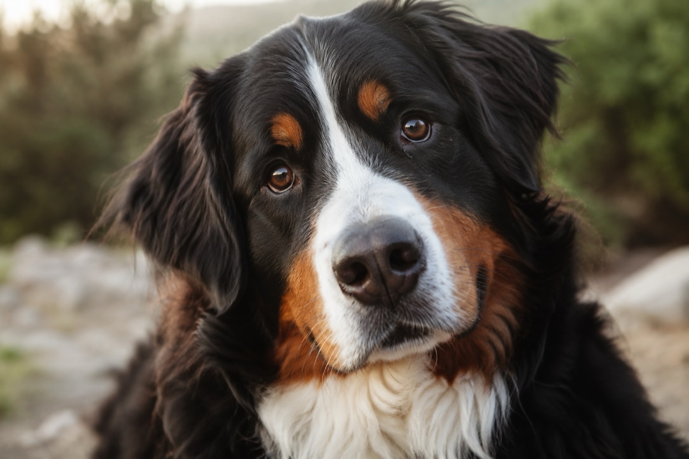
Shasta the Bernese Mountain Dog
"I'm Shasta — and I know how scary this moment is. I won't pretend every search ends the way we hope. But I know this: a drone with thermal imaging gives you a better chance than almost anything else out there. It covers ground fast, it sees in the dark, and it finds animals hiding in places no one thinks to look. A drone is one of the best tools available to help reunite you with your pet."

Time matters. The sooner aerial search begins, the more ground we can cover before a pet moves further or conditions change. We mobilize as quickly as possible.

How we can help

Our search process is designed to cover the most ground in the least time.

1

Contact Us

Call or fill out the form below with your pet's last known location, description, and when they went missing.

2

We Plan the Search

We identify the terrain, define flight areas, and confirm airspace authorization to begin legally and safely.

3

Thermal + Optical Scan

Our drone covers hundreds of acres with thermal and optical cameras — detecting heat signatures invisible to the naked eye.

4

You Get Updates

We share footage and GPS coordinates in real time so you and ground searchers know exactly where to look.

What a drone can do that ground search can't

No search method guarantees results — but aerial thermal search gives you capabilities that nothing else can match.

Covers acres, not blocks

A single flight covers terrain in minutes that would take ground searchers hours to walk.

Thermal sees through darkness

Our thermal camera detects body heat — effective at dusk, night, or in dense brush where visual searches fail.

GPS coordinates

When we spot your pet, you get an exact GPS location — not a vague description of a general area.

FAA licensed & insured

All operations are flown by Part 107 certified pilots. Legal, professional, and safe.

Shasta

When does a drone search make the most sense?

I want to be straight with you. A drone isn't magic — but in the right conditions, it's one of the best tools available. Here's what I've learned about when aerial search is most likely to help.

  1. 1

    Your pet was lost or spotted recently

    If your pet went missing in the last day or two — or was spotted recently — aerial search is at its most useful. I'll be honest with you: if it's been several days with no sightings, the odds of a drone spotting them go down. Not zero, but lower. The sooner you call, the better the chances.

  2. 2

    The terrain is open and rural

    Fields, hillsides, open parks, forest edges — a drone sees those clearly. Dense neighborhoods, cluttered yards, storage areas, under structures — those are harder. The more open the terrain, the more the drone can actually cover. If you're in a rural or semi-rural area, you're in good shape.

  3. 3

    It's a cool morning or evening

    Thermal cameras work by detecting the temperature difference between your pet and their surroundings. The bigger that gap, the clearer the signal. Early morning before the ground warms up, or after sunset when the air cools — those are when thermal really performs. Midday on a hot day? Much harder.

  4. 4

    Your pet is on the larger side

    A big dog shows up clearly on thermal. A small cat or a tiny breed is harder — not impossible, but harder. I say that with love, not discouragement. Knowing what we're looking for helps the pilot calibrate what they're seeing and where to focus.

  5. 5

    You know your pet's energy level

    A young, high-energy dog can cover miles in hours. A senior dog or a nervous cat is probably hunkered down much closer to where they went missing. Telling us about your pet's typical behavior — how far they roam, whether they hide or run — helps us search the right area first.

FAA Part 107 Certified
Fully Insured
Rapid Mobilization
Drone Pet Recovery Network Member
Monterey · Santa Cruz · San Benito Counties
★★★★★
"He was great to work with and very professional. Although we were not successful, we feel he gave us the best chance. We thank him for his help. We would use him again!"

— Terry R., via Drone Pet Recovery Network

★★★★★
"You gave us peace of mind knowing we were taking action. You saw it through with real care and dedication. We will never forget you and will be forever grateful."

— Stephanie & Brian, searching for Willow Bean

★★★★★
"Roby was kind enough to volunteer his time after hours to search for our missing dog, from 9 to 11pm. His equipment is great — each battery lasts 30 minutes and he brought five. While we still haven't found him, we're grateful for his generosity."

— Megan K., searching for Luca

— Shasta

"See what a drone can see.
Make the call."

Get In Touch

Let's find your pet.

Fill out the form or give us a call. We'll get back to you as quickly as we can and talk through what an aerial search could look like for your situation.

415-640-4059

Leave a voicemail if no answer — we'll call back as soon as possible.

Service Area

Monterey County, Santa Cruz County, and San Benito County. Contact us for availability in neighboring areas.

We respond as fast as possible — usually within the hour for urgent requests.