Be ready, with the “before” already on file.
A strong El Niño is forecast, and a wetter winter is favored. A dated, geo-referenced aerial record makes any change easy to show later.
A strong El Niño is forecast this winter, and a wetter-than-normal season is favored for much of California, with the heaviest rain expected from December on. Forecasts can change, so the practical move is simple: document your property while it looks the way it does today.
One flight captures your property as it stands today. After a major storm, an optional repeat flight gives you the matching “after.”
A high-resolution top-down map of your whole property, stamped with the flight date and tied to real-world coordinates, so it lines up with other maps and aerial imagery.
Roofs, slopes, drainage paths, and shoreline photographed up close and dated.
A short flyover that shows the overall condition of your property from above.
After a major storm, the pilot flies the same property again so you can compare before and after.
Priced by property size. One flight, one price.
If a storm could change your land, roof, slope, or shoreline, a dated record of today is worth having.
Dated records to support your Stormwater Pollution Prevention Plan (SWPPP) and erosion-control documentation. Your plan and its qualified practitioner decide what’s required.
A record of slopes, bluffs, drainage, and rooflines before the rain.
One consistent record of common areas, roofs, and drainage across the whole community.
Fairways, bunkers, cart paths, and drainage documented before the wet season.
Rows, slopes, roads, and drainage across acreage that’s hard to walk.
Roofs, grounds, and shoreline-facing areas documented across a large property.
Fly the site before the rain, then fly the same route after each significant storm. Erosion controls, sediment, slopes, and drainage are documented in one dated sequence.
The pilot flies a baseline map and photos while your controls are in place.
Same route, same coverage, so changes stand out clearly.
You get a dated sequence you can share with your team, engineer, or agency.
Quick answers about what you receive, timing, insurers, and airspace.
A dated, geo-referenced 2D map of your property, close-up photos of roofs, slopes, drainage and shoreline, and a short video, delivered through a browser link you can open and share. Files for your engineer or agency are available on request.
The pilot flies your property on a day that works for both of us, and your files typically follow within 2 business days of the flight. Weather can move the flight date, and rescheduling for weather is free.
Every insurer sets its own requirements, so there's no way to promise how any one of them will treat it. What you receive is documentation you can share with your insurer, engineer, or agency, and they decide what they need.
Often, yes, with FAA authorization. Properties near Monterey Regional Airport (MRY) and other airports can fall inside controlled airspace, where a drone can fly only with authorization. The pilot checks your location before booking and requests authorization where it's required. If a location can't be authorized, you'll hear that up front.
No. The maps and photos are for documentation and planning. They aren't prepared by a licensed land surveyor and shouldn't be used for boundary, legal, or engineering purposes.
A strong El Niño is forecast, but seasons don't always deliver what an outlook suggests. A dated baseline is still useful: it documents your property's condition before any storm, slide, or construction change, and it's a reference you can use any time.
No. The repeat flight is optional. You can add it after a major storm, or only if you see something you want to document.
Fill out the form or give us a call. We’ll talk through your property and timing, the pilot checks airspace, and you get a price. No commitment required. Book by Dec 1 to have your baseline on file before the heaviest rain.
415-640-4059Leave a voicemail if no answer, and you’ll get a call back as soon as possible.
The El Niño forecast and wetter-winter outlook on this page come from NOAA’s Climate Prediction Center: ENSO diagnostic discussion (Oct. 8, 2026) and seasonal outlook discussion (Oct. 15, 2026).
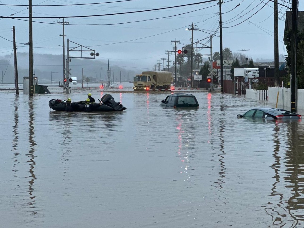
Flood photo: courtesy of the 1-184 Infantry Regiment, California National Guard, via DVIDS. The appearance of U.S. Department of War (DoW) visual information does not imply or constitute DoW endorsement.